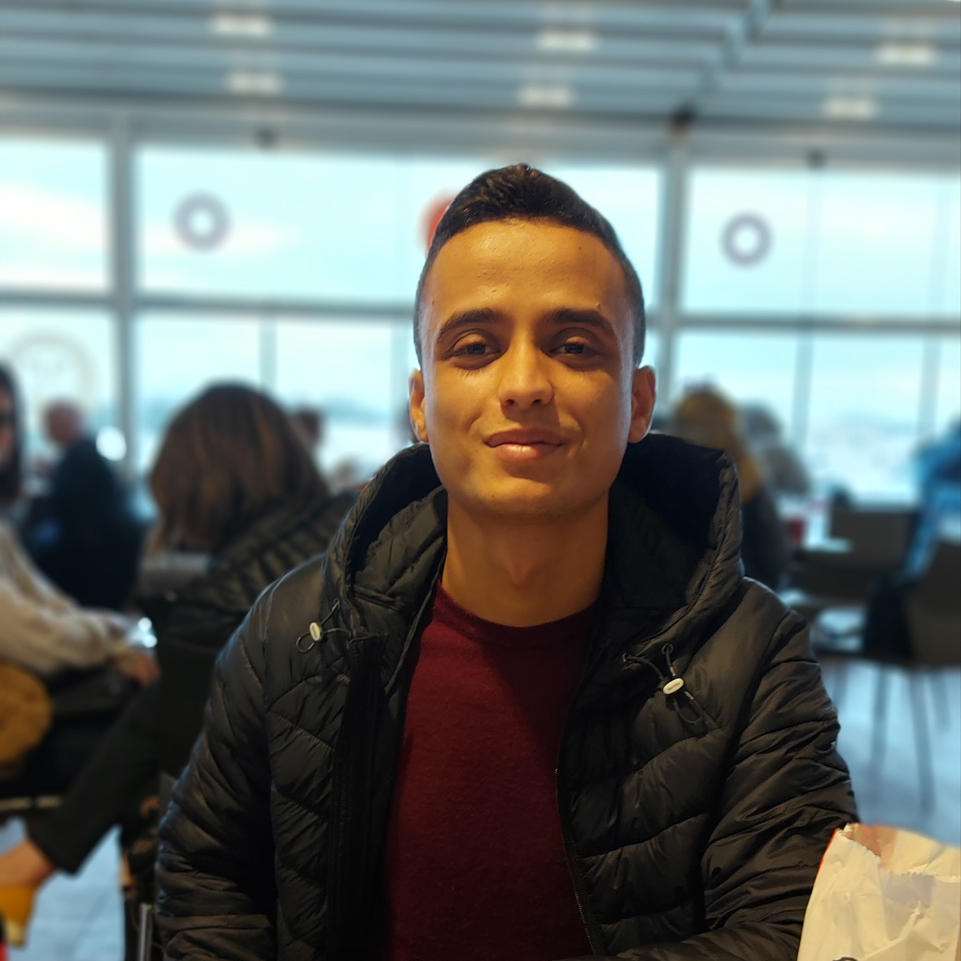
Hi! I'm Khaled Hammami, a Geomatics Engineer
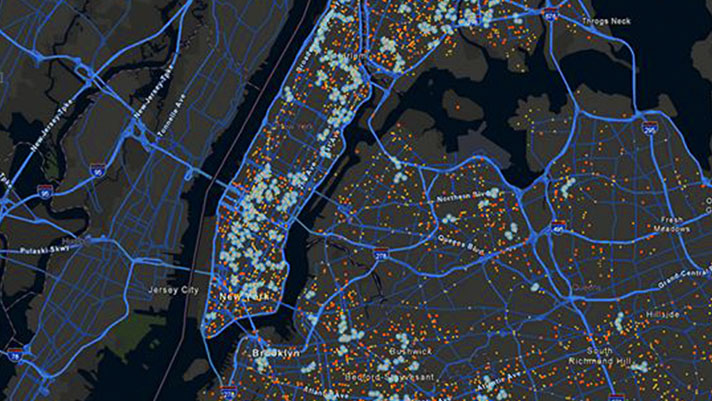
interested in geospatial data, remote sensing, GIS and everything related to geospatial technology
I use geospatial data in my daily work
to help take decisions.
About Me

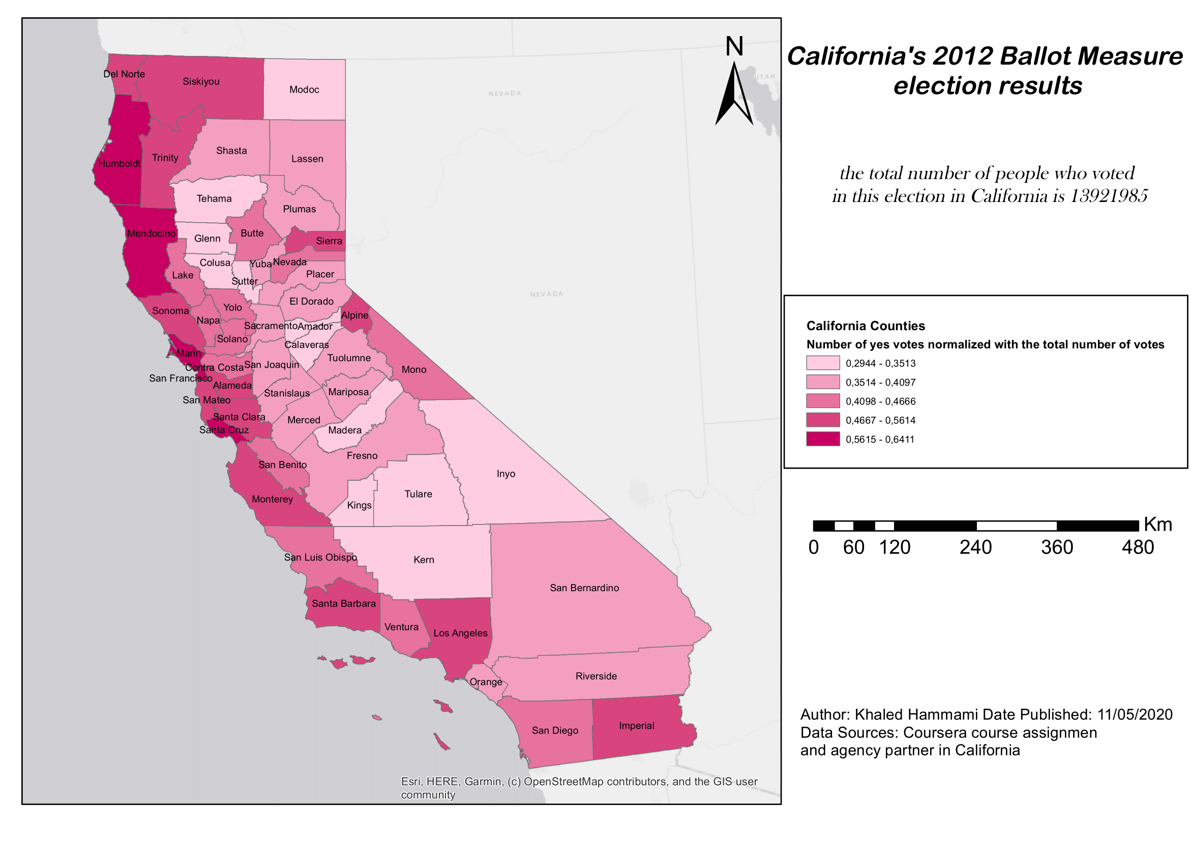
With a robust Engineer's degree in Geomatics and active service as a Lieutenant in the Tunisian Armed Forces, my journey intertwines military precision with geospatial innovation. At the heart of my approach lies a mastery of Geographic Information Systems (GIS), Python, and JavaScript skills honed through rigorous academic training and enhanced by prestigious Coursera certifications in Machine Learning and GIS fundamentals. Our work involves leveraging these competencies to tackle complex geospatial challenges, pioneering applications in strategic military contexts. My commitment to excellence and ongoing learning is reflected in the substantial projects we undertake, where I contribute to the advancement of geomatic solutions. Fluent in French, English, and Arabic, I navigate diverse environments, driven to make a tangible impact through geospatial technology..
Contact
Let's work together, don't hesitate to send me a message I would be glad to help
